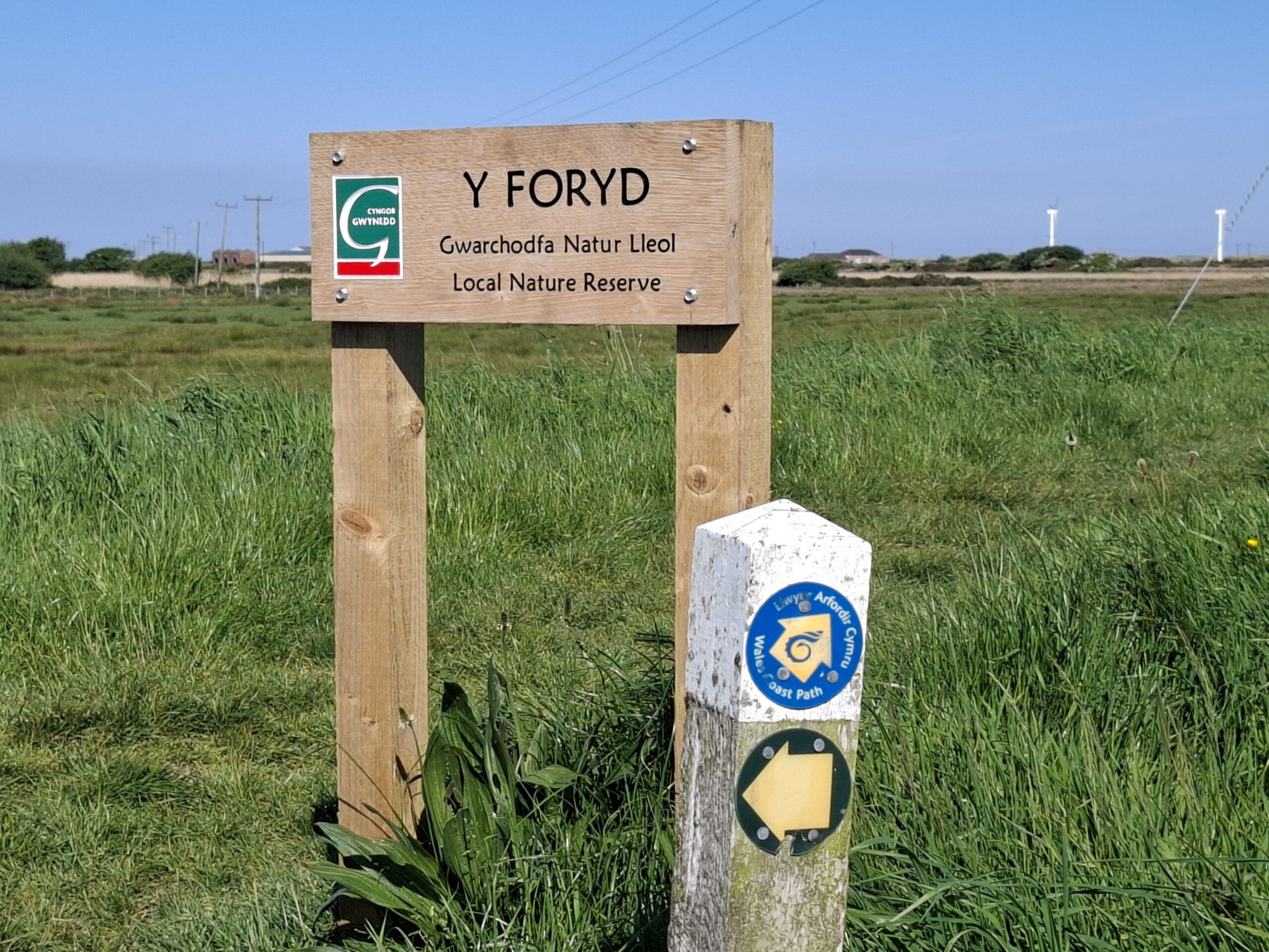
Y-Foryd to Dinas Dinlle
Today I realise the extent of the Y-Foryd nature reserve as I walk toward Dinas Dinnle, coming inland around marsh and beside an EX-RAF air field.
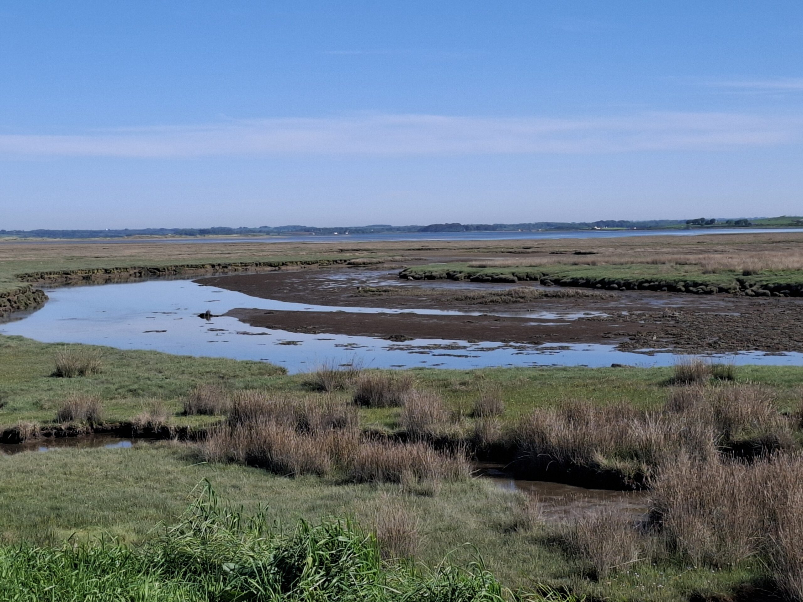
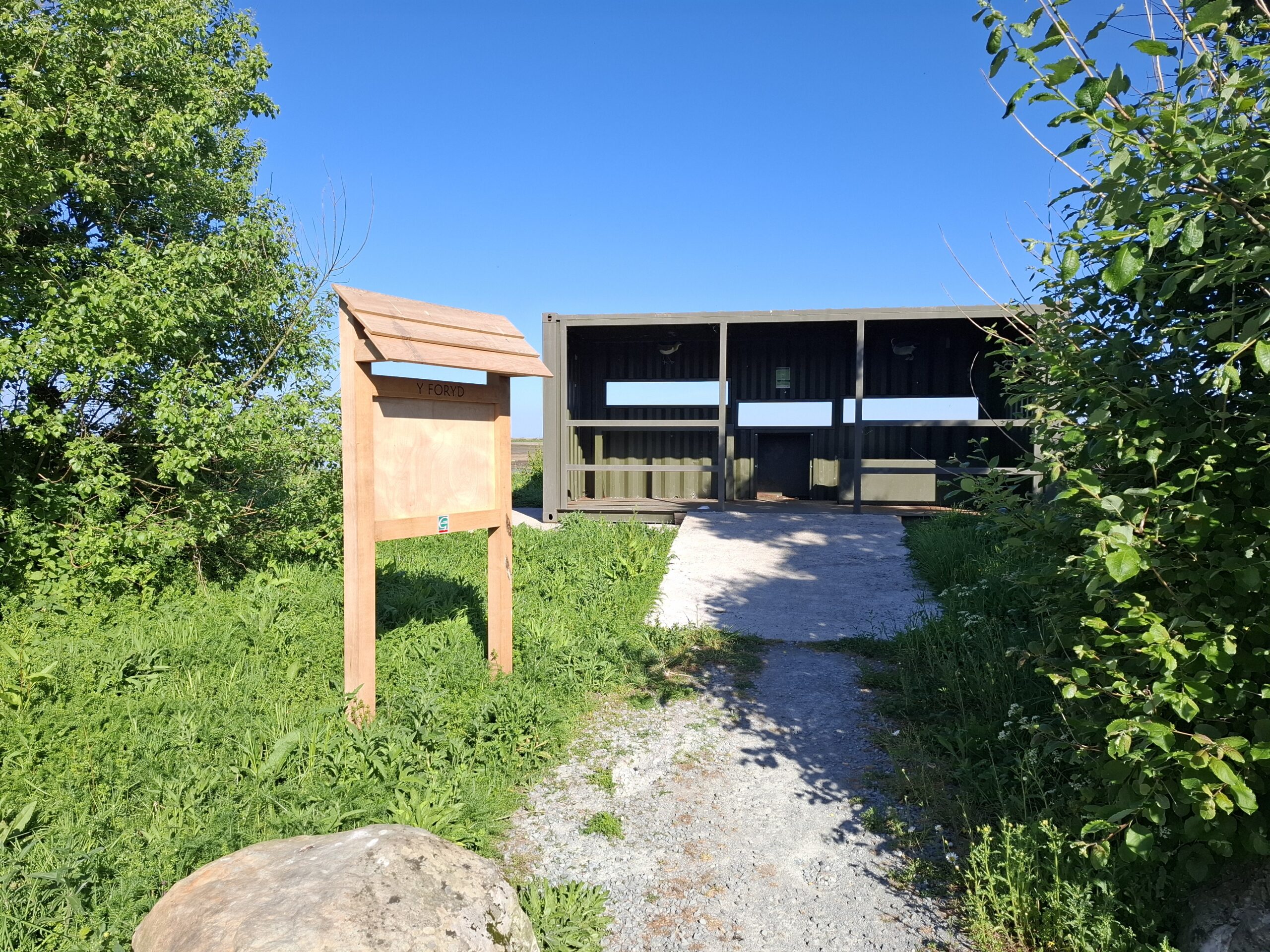
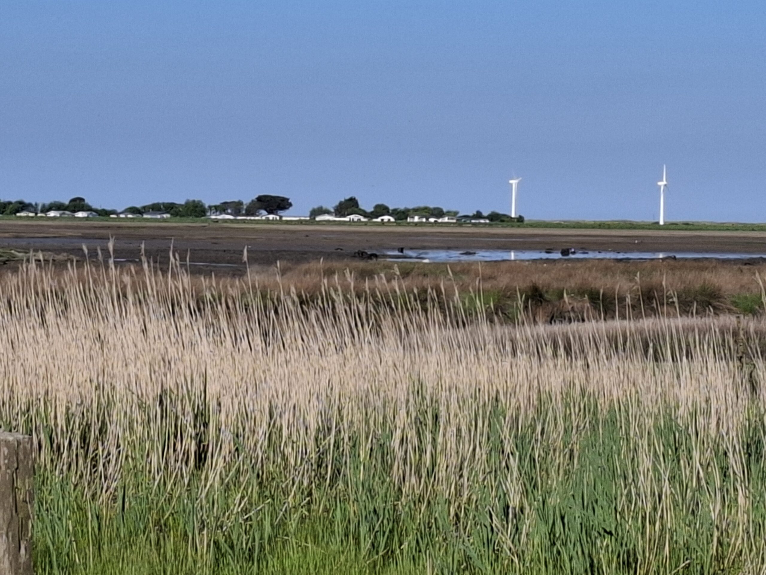
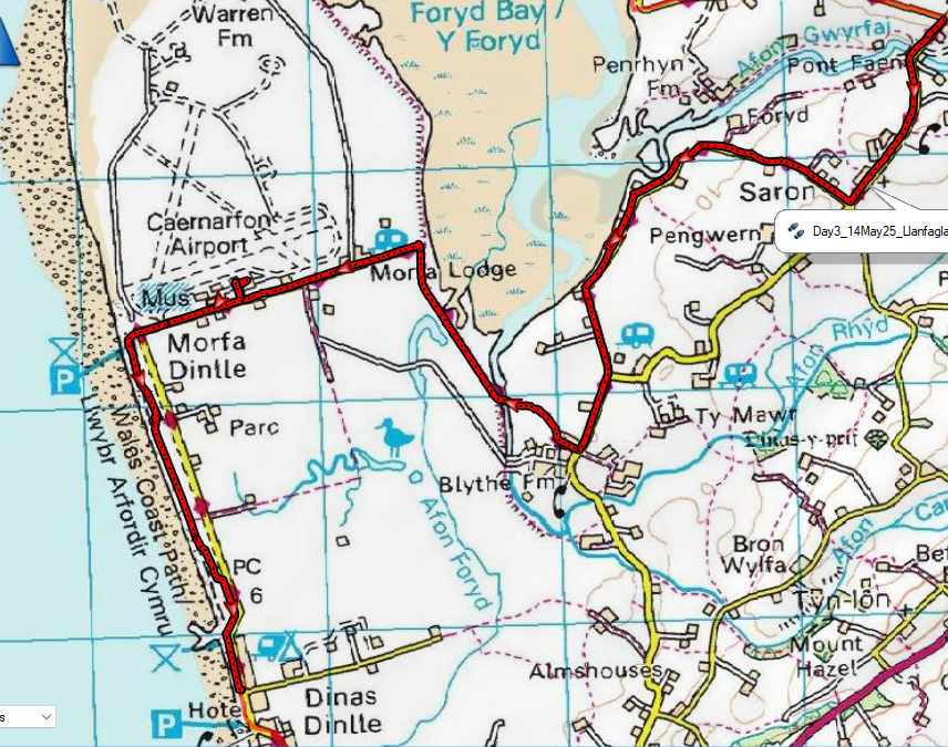
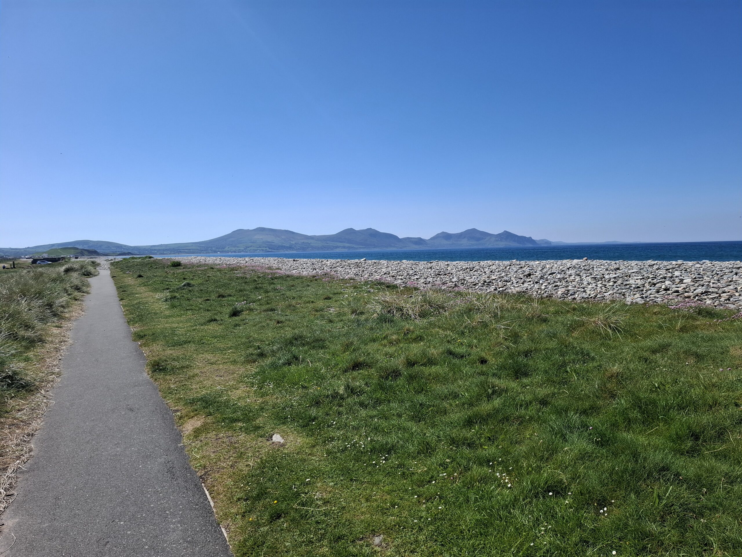
A significant amount of walking tarmac is involved initially and the airfield is some distance away as show by a view from ‘the hide’ The wind turbine on the horizon is an excellent ‘signpost’ for the direction I should be headed in.

There is a narrow road along the side of the marsh which I am walking in a south westerly direction until I turn Inland crossing fields and a small bridge with the airfield in sight.
The airfield was :-
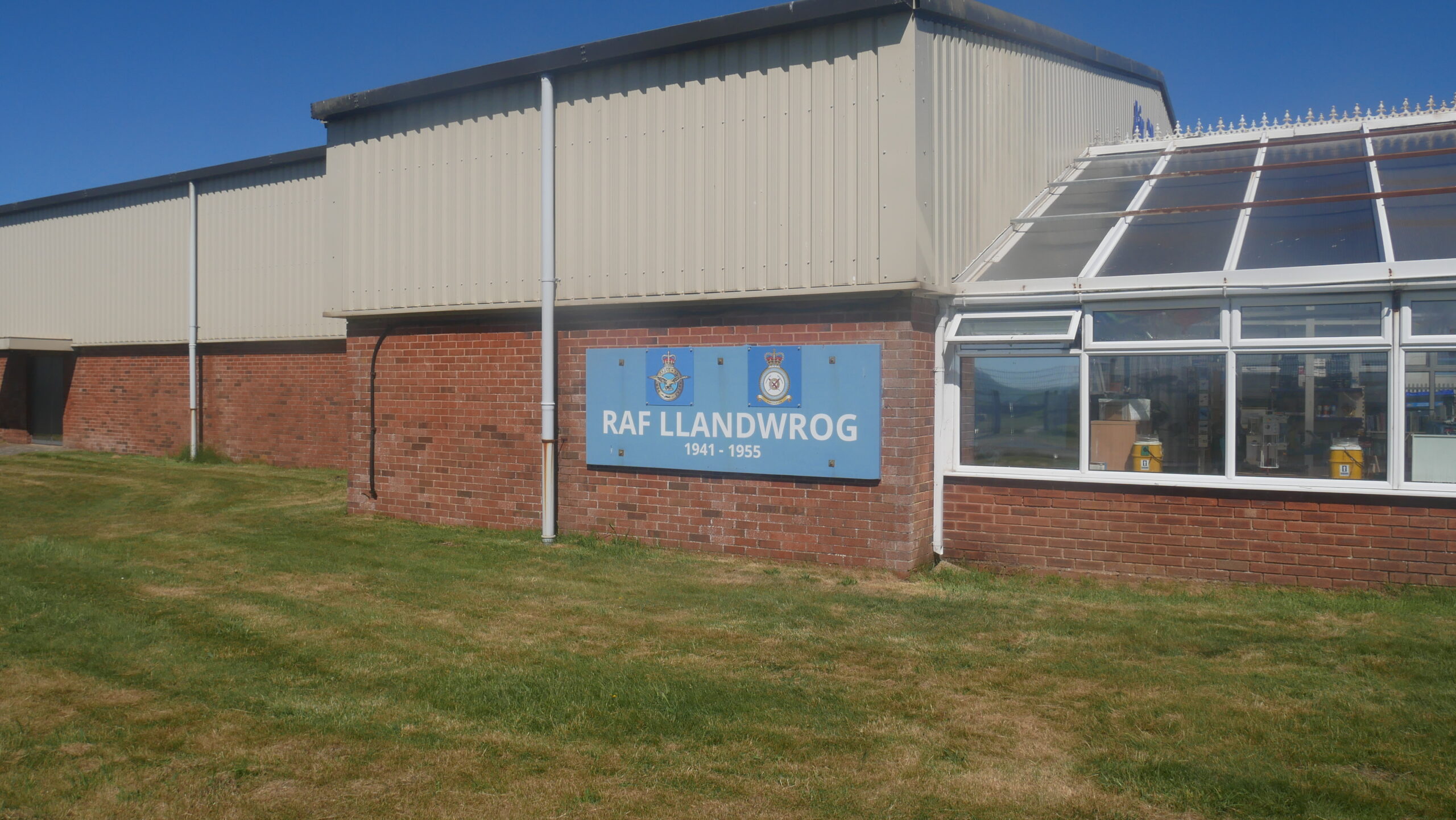
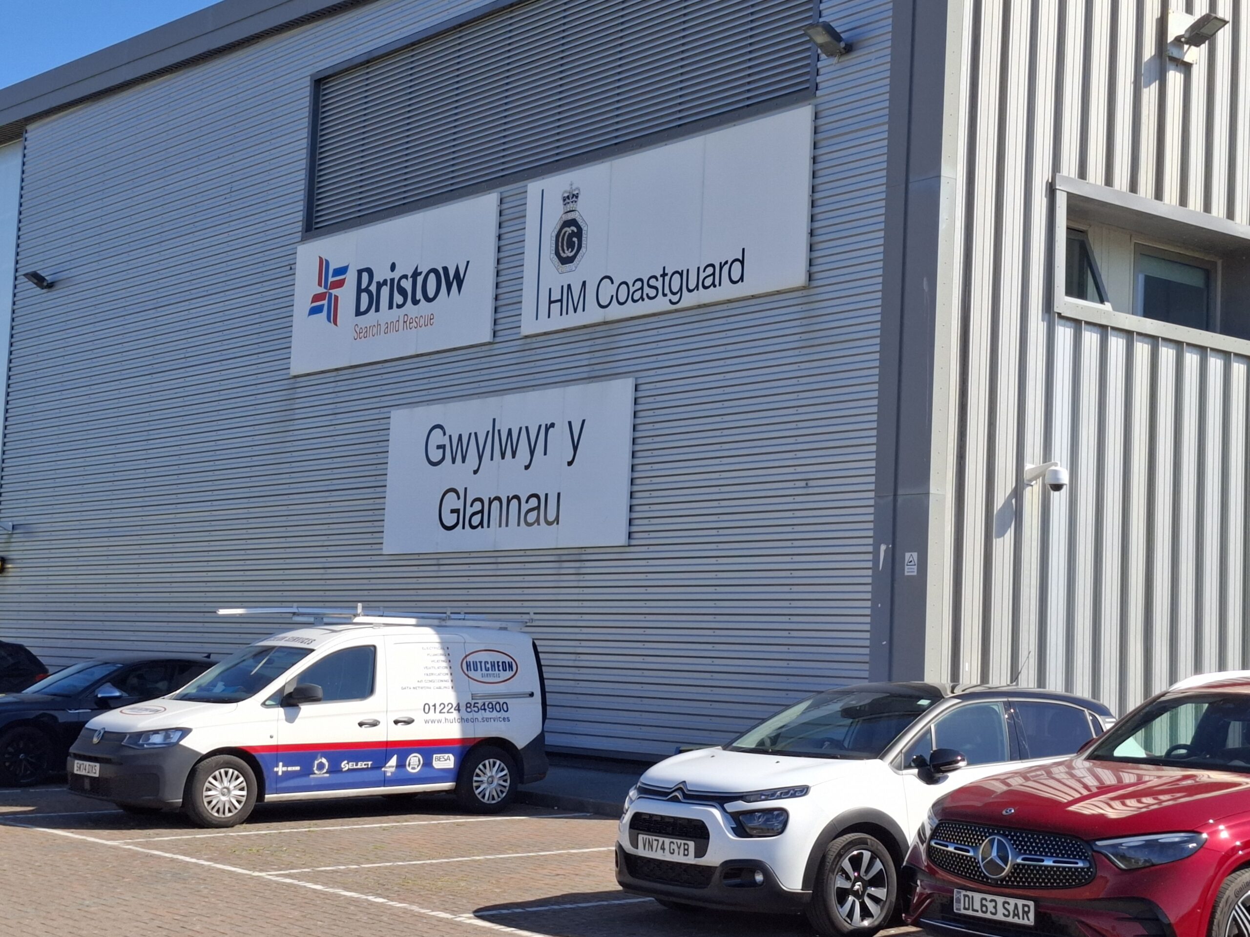
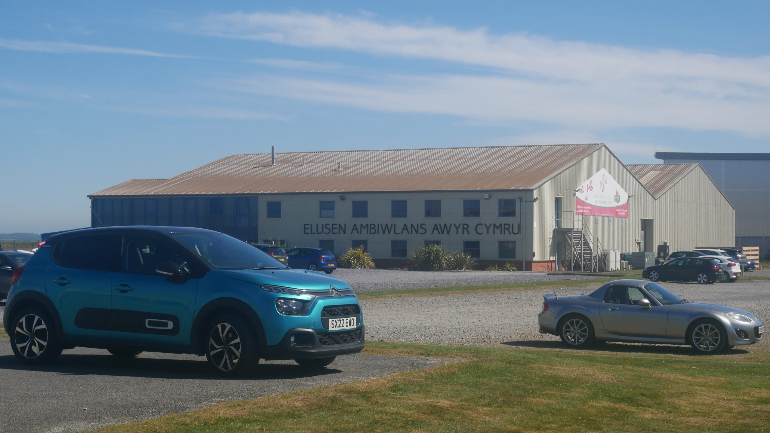
The airport is Caernarvon airport now and has H.M. Coastguard Offices and the Air Ambulance based there.
Its a long straight walk beside the airfield perimeter having turned back inland and heading toward the coast again. This mapping of my track (In BOLD red) will help undertstanding of the geography of the marsh/airfield & coast. The start it as Y-Foryd in the N.E. to Dinas Dinlle in the S.W. and is 5 Miles in length.
The fence line opens up and I walk into the airport cafe and have ‘breakfast. A full fry up. Fortified for the rest of my walk I continue alongside the airfield observing a couple of light aircraft leaving
Turning left at the end of the airfield perimeter I am beside the coast again and its a straight flat run to ‘Dinas’.
Before I reach ‘Dinas’ I am wary of large diggers operating on the pebbly sea front. I joke with a guy from N.R.W (National Resources Wales) The diggers are essentially clawing back washed out pebbles and ‘re-shoring’ the sea defence they provide. Its a yearly routine 🙂
I grab a coffee and return to my hotel ready for another fine day tomorrow.
____________________________________End_______________________________________
Leave a Reply